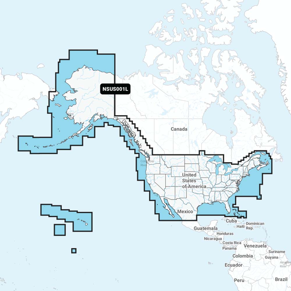
Garmin Navionics+ NSUS001L US Coastal Canada
Garmin Navionics+ NSUS001L US Coastal Canada is backordered and will ship as soon as it is back in stock.
Product Description
Product Description
Enhance your boating adventures with the Navionics+ NSUS001L, the leading choice for marine mapping in the US and Coastal Canada. Featuring the most up-to-date Navionics®+ cartography, this comprehensive mapping solution is ideal for both offshore and inland waters, providing detailed maps of coastal regions, lakes, rivers, and more.
Advanced Mapping and Sonar Capabilities
Experience the precision of SonarChart™ 1’ (0.5 meters) HD bathymetry maps, offering detailed bottom structure insights. The Navionics®+ NSUS001L includes advanced features such as dock-to-dock route guidance technology, live mapping, and Plotter Sync for seamless wireless daily updates. With the Navionics® Chart Installer software, you ensure your chart data is always current, making navigation through channels, inlets, and marina entrances both safe and efficient.
Key Features
- Integrated Content: Combines Garmin and Navionics® data for exceptional coverage, clarity, and detail within a familiar interface.
- Daily Chart Updates: Easily access updates via the Navionics® Chart Installer software or wirelessly with the Plotter Sync feature through the Navionics Boating app (requires a compatible smart device and active subscription).
- Dock-to-Dock Route Guidance: Utilizes your boat settings and chart data to suggest optimal paths for safe navigation. (Note: For planning only; does not replace safe navigation practices.)
- Community Edits: Download local data contributions from Navionics Boating app users to enhance your charts.
- SonarChart™ HD Bathymetry: Displays up to 1’ (0.5 meter) contours for detailed bottom structure visualization, improving fishing and navigation.
- Fishing Range: Highlight specific depth ranges to locate prime fishing spots.
- Shallow Water Shading: Customizable shading highlights water depth up to user-defined levels for easier navigation.
- Live Mapping: Create personal 1’ HD bathymetry maps in real-time on compatible plotters while navigating.
- Worldwide Coverage: Access detailed maps and data across global waters.
- Easy Installation: Available on microSD™ cards with annual renewable cartography updates included for the first year.
Compatibility
| Compatible Chartplotters |
|---|
| Echomap UHD (7/9) |
| Echomap Ultra (10/12) |
| GPSmap 10X2 / 12X2 |
| GPSmap 12X2 Touch |
| GPSmap 7X2, 9X2, 12X2 Plus |
| GPSmap 7X3 / 9X3 / 12X3 |
| GPSmap 8400 / 8600 |
| GPSmap 8700 Black Box |
For more detailed information, download our Brochure (PDF).
Delivery and Shipping
Delivery and Shipping
Orders of physical products placed by 3 PM EST M-F typically ships the same day, if all requested items are in stock. Weekend orders will typically ship on Monday.
Shipping takes 2-7 days.
We currently ship to the Contiguous 48 States.
Life of Sailing merch is custom made for the customer after an order is placed. Total turnaround is typically 7-14 days from order to doorstep.
Payment & Security
Payment methods
Your payment information is processed securely. We do not store credit card details.


